Best Hikes near Austin You Shouldn't Miss
From the limestone creek bed of the Barton Creek Greenbelt to the granite summit of Enchanted Rock, the best hikes near Austin run from a fifteen-minute neighborhood walk to a full day trip, and the trick is knowing which is which before the heat decides for you.
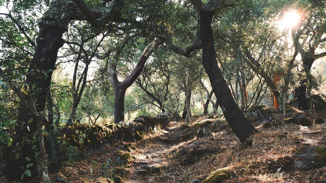
By seven in the morning, the limestone slabs along Barton Creek are already breathing heat back into the air, even though the creek itself, fed by dozens of small springs, still carries the chill of a February night. Cedar elms lean out over the low-water crossing near Barton Springs Road, their roots gripping rock that has been there since Austin was a river town instead of a server farm. A great blue heron stands motionless in six inches of water. Someone's dog splashes past it without shame. This is what the best hikes near Austin actually look like on a Tuesday: not epic, not remote, just a short walk from a parking lot into something older than the city that grew up around it.
Austin's relationship with its trails has always been part practical and part devotional. People here don't hike so much as they disappear for an hour before a meeting, or they turn a Saturday into a six-mile loop that ends at a swimming hole because the heat demands it. The land does the work: limestone canyons cut by Hill Country creeks, live-oak mottes throwing shade over caliche paths, bald cypress holding the banks of anything that holds water. This guide moves outward, starting with the trails you can reach from an East Austin bungalow or a South Congress apartment in fifteen minutes, then out to the state parks and swimming holes that ask for a tank of gas and some patience with traffic on 71 or 290.
The Best Hikes Near Austin That Start Inside the City
You do not need to leave the city limits to get a real trail experience here, and that is arguably the strangest gift Austin gives its residents. A ring of creek canyons and preserves runs through neighborhoods that also have breakfast tacos within walking distance, which is either a perfect arrangement or proof that Austin has never quite decided if it's a city or a really big small town.
Barton Creek Greenbelt
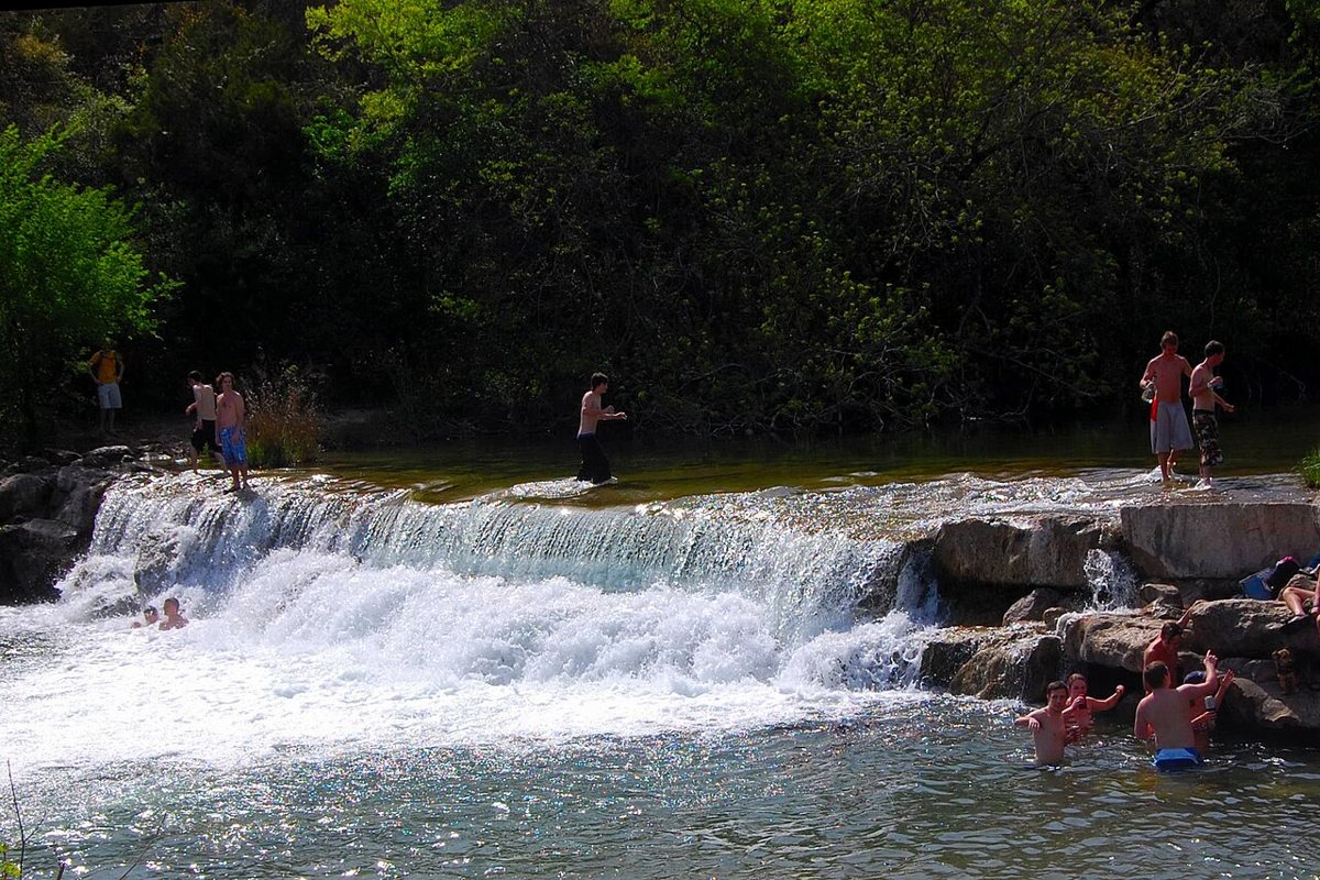
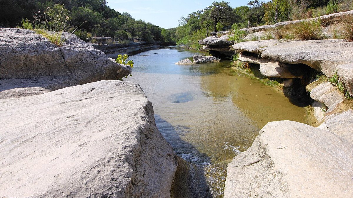
The Greenbelt is the spine of Austin hiking, a limestone creek corridor that runs roughly eight miles from Barton Springs Pool out toward Lost Creek Boulevard near Loop 360. Most people don't walk the whole thing in one go. They pick an access point, Spyglass, Twin Falls, Gus Fruh, or the main entrance off Barton Springs Road, and hike a few miles of creek bed shaded by cedar elm and live oak, with limestone bluffs rising on either side that local kids have been jumping off of for generations. When the creek is running, there are a string of swimming holes along the way, Sculpture Falls chief among them. When it's dry, which happens more than the tourist photos suggest, it's still a good rocky walk with real shade. The insider move is parking at one of the residential access points, like Spyglass or Gaines Creek Park, instead of fighting for a spot at the main lot, which fills before nine on any weekend with decent weather.

Mount Bonnell
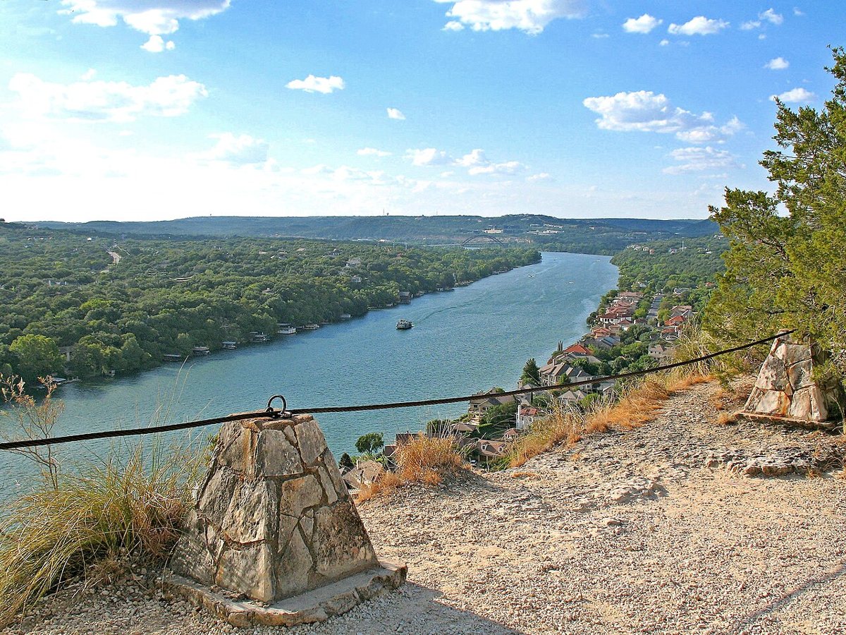
Mount Bonnell is less a hike than a stairway with a payoff, a steep run of roughly a hundred stone steps up a limestone bluff above Lake Austin, west of downtown off Mount Bonnell Road. The climb takes maybe five minutes if you're not stopping, but almost everyone stops, because the view from the top opens up the lake, the hill country ridgeline, and a wide stretch of sky that makes the whole climb feel earned. It's one of the oldest tourist attractions in the city, which means sunset brings a crowd with tripods and prom photos. Go at seven in the morning instead, with coffee, and you'll have the overlook mostly to yourself and better light besides. It's a short trip from downtown or Tarrytown, and worth pairing with a longer hike elsewhere since the climb itself takes so little time.

Wild Basin Wilderness Preserve
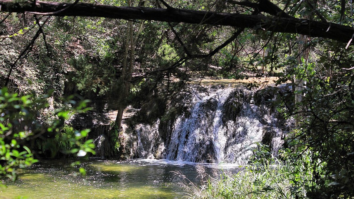
Tucked into a canyon just off Loop 360 near Bee Caves Road, Wild Basin feels farther from the city than it is. The main loop drops through juniper and oak down into a rocky creek canyon, past a series of small waterfalls that run only after real rain, which in a Central Texas summer can mean they're dry for months and then roaring for a weekend. The terrain is rockier and more uneven than the Greenbelt, with some scrambling required near the bottom of the canyon. It's a preserve, not a park, so the trails are narrower and the crowds thinner, especially on weekday mornings. Time your visit for after a storm if you can. The falls are the whole point, and a dry Wild Basin, while still a decent walk, is a different and lesser experience.

St. Edward's Park
North of the Domain, off Spicewood Springs Road, St. Edward's Park follows Bull Creek through a canopy of oak and elm that keeps the whole trail shaded even at midday. It's smaller and quieter than the Greenbelt, more of a neighborhood secret than a destination, with limestone bluffs on one side of the creek and a network of connector trails that let you build a loop of almost any length. Locals in the Northwest Hills and Allandale area treat it the way South Austin treats the Greenbelt, as the trail they can reach on a lunch break. The creek crossings can be tricky after rain, so wear shoes you don't mind getting wet. Runners favor the loop that climbs briefly onto the ridge above the creek, since it trades a little shade for a clear view down into the canopy, and on a weekday morning you can walk twenty minutes without passing another person.
Bull Creek District Park
Further downstream on the same creek, off the same Spicewood Springs corridor, Bull Creek District Park is where that water pools into a chain of limestone basins that Austinites have been cooling off in for decades. The hiking here is short and rambling rather than a defined loop, following the creek bank between the pools, with cliffs and small ledges that make for good shade and better people-watching. It floods hard and fast after storms, so the pools that look placid on a June afternoon can be a churning brown mess twelve hours after a downpour. Come on a weekday if you want the water without the crowd, and bring water shoes, since the creek bed is more rock than sand.

River Place Nature Trail
This one is not for a casual morning stroll. The River Place Nature Trail, off Big View Drive in West Austin, drops and climbs through a series of staircases, somewhere north of two thousand steps by most accounts, on its way down to a waterfall overlook on Fritz Hughes Park and eventually toward Wild Basin. It is, without much competition, the hardest quad workout among the best hikes near Austin, and trail runners use it as a training ground. The payoff is a canyon that feels genuinely remote, with limestone walls and a waterfall view worth the climb back out. Bring more water than seems reasonable and don't attempt it in the middle of an August afternoon unless you enjoy suffering.
Ann and Roy Butler Hike-and-Bike Trail
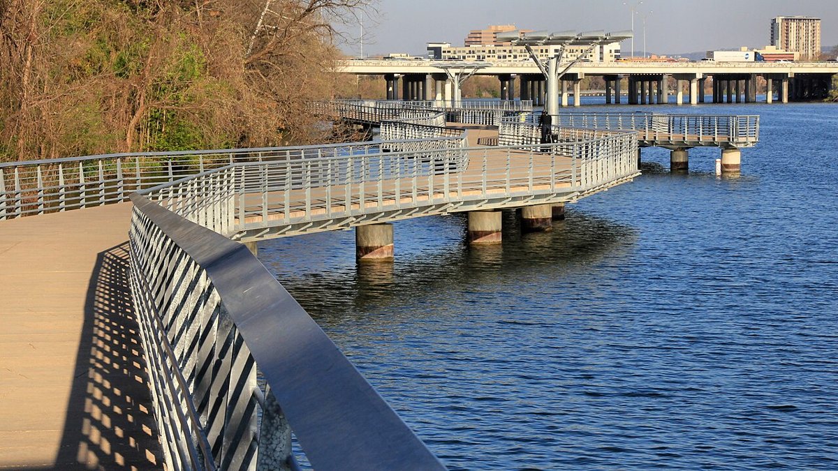
Around Lady Bird Lake, the Ann and Roy Butler Hike-and-Bike Trail is the most-used piece of pavement and crushed granite in the city, a roughly ten-mile loop that circles the water with the UT Tower and the downtown skyline as a constant backdrop. Part of it runs on a floating boardwalk along the south shore, cantilevered out over the water, which is the best few hundred yards of flat walking in Austin. There's no elevation to speak of and no technical terrain, which makes it the trail for a stroller, a bad knee, or a visiting relative who claims not to like hiking. It connects into the broader network that makes up Austin's best parks, and running or walking a section of it at sunrise, before the trail fills with commuter cyclists, is one of the better free things this city offers.

State Parks and Natural Areas Worth the Drive
Past the city line, the terrain opens up and the trails get longer, the crowds thinner on a weekday, and the views bigger. Most of these sit forty-five minutes to two hours from downtown, which makes for a solid list of day trips from Austin built entirely around boots and a water bottle.
McKinney Falls State Park
Southeast of downtown, a short drive via 183 or 71, McKinney Falls sits on Onion Creek and offers a gentler version of what the Greenbelt does, wide limestone shelves, a lower falls you can wade into, and a paved hike-and-bike trail that loops through pecan and cedar elm woodland. The upper falls are less dramatic but quieter, and the ruins of an old homestead along the trail give the walk some history beyond geology. It's an easy park for families or a first-timer's introduction to Hill Country hiking, with flat, well-marked trails and picnic areas near the water. Weekday mornings are calm here even in summer; weekend afternoons draw a real crowd for the falls.

Pedernales Falls State Park
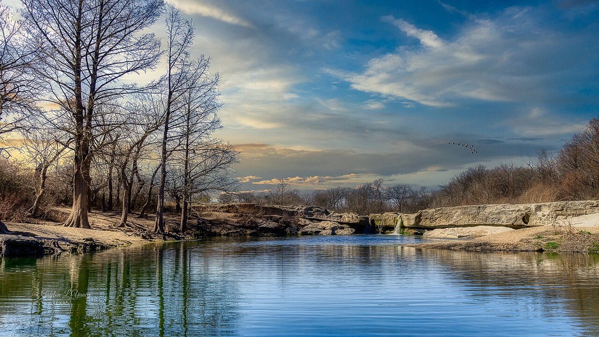
West on 71 toward Johnson City, Pedernales Falls State Park centers on a stretch of the Pedernales River where the water has carved a series of stair-stepped limestone terraces over thousands of years, dramatic enough that the falls themselves are the destination even before you factor in the trails. The park's longer routes, including sections of the Wolf Mountain Trail, run six miles or more through juniper-oak woodland and open grassland with real elevation change, a step up in difficulty from most in-town options. Swimming near the falls themselves is often restricted because the river can rise with startling speed from rain miles upstream, so check current conditions before you go anywhere near the water. The overlook alone, especially at golden hour, justifies the drive.
Enchanted Rock State Natural Area
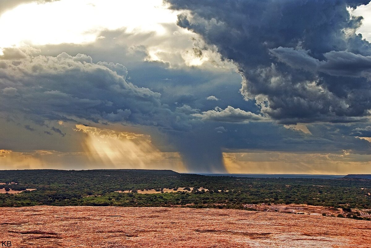
Out past Fredericksburg, roughly ninety minutes to two hours from Austin depending on traffic, Enchanted Rock is a pink granite dome that rises out of the hill country like something from a different geology entirely, and it draws hikers from across the state for good reason. The Summit Trail is short, under a mile each way, but steep and fully exposed, with no shade and a granite surface that reflects heat back at you all day. It's genuinely strenuous for a trail that short, and the higher loop trails around the base add mileage through oak groves and past smaller granite outcrops if you want a longer day. This park has capped its daily visitors before, so check current reservation rules ahead of a trip, especially on weekends. Go at first light in warmer months, both for the temperature and for the quality of the light on the rock.

Reimers Ranch Park
Further west along the Pedernales, Reimers Ranch draws rock climbers first and hikers second, but the trails along the canyon rim, with sweeping views down to the river and its limestone bluffs, are worth the visit on their own. The park's network of paths ranges from flat riverside walking to rockier climbs up toward the bluff tops, and mountain bikers share much of the same trail system, so stay alert on blind corners. It's a good spot to combine a moderate hike with a swim in the river below, and far less crowded than the more famous swimming holes nearby. The drive out via 71 and then FM 3238 takes you deep enough into the hill country that cell service gets spotty, which is either a feature or a problem depending on your relationship with your phone.
Swimming-Hole Hikes for the Brutal Months
Central Texas summers are not a suggestion. By June, a hike without water at the end of it starts to feel like a punishment, and a real portion of local hiking culture exists specifically to solve that problem. Several of the trails above already end at water, the Greenbelt's Sculpture Falls, Bull Creek's pools, McKinney Falls' shelves, but a few destinations are built around the swim as much as the walk.
Hamilton Pool Preserve
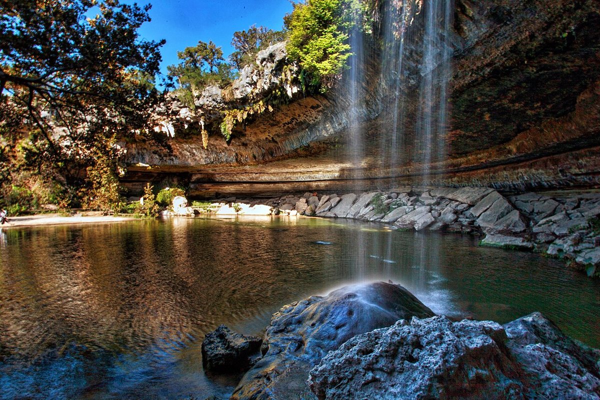
Hamilton Pool is the one that ends up on every out-of-town visitor's phone before they even land, a collapsed grotto west of Austin off Hamilton Pool Road where a waterfall drops into a jade-green pool ringed by a limestone overhang and hanging ferns. The hike in is short, a quarter mile or so down a graded path, which is part of why the place gets crowded fast. Its popularity has made a reservation system necessary for most of the year, so check current reservation rules before driving out, since walk-up access is no longer reliable. It stays some of the most striking scenery within an hour of the city, and the short walk in makes it reachable for almost anyone.

Emma Long Metropolitan Park
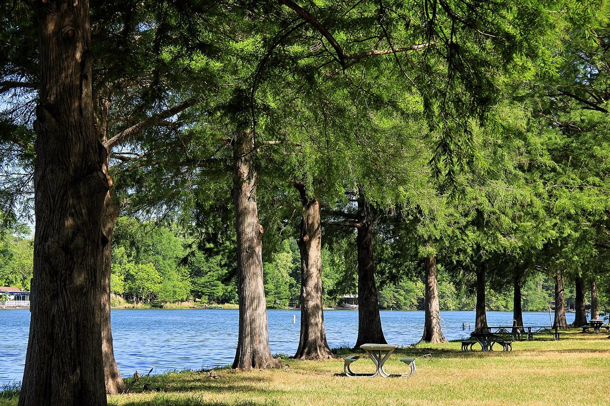
On the western edge of the city along Lake Austin, off City Park Road, Emma Long feels more like a lake day with a hiking option attached than a trail with water nearby. The Turkey Creek Trail winds through juniper and oak along a spring-fed creek before opening onto the lakeshore, a couple of easy miles that make a good warm-up hike before an afternoon at the swimming beach. Boat traffic on the lake keeps it from feeling remote, but the trail itself, especially the shaded creek sections, holds up well even in August heat. It's a solid pick for a day that mixes a real but manageable hike with a genuine swim, without the drive time that Hamilton Pool or Pedernales require.

Matching the Trail to the Day
Not every hike on this list belongs on the same kind of morning. A few guidelines for sorting them:
- Easiest, good for kids or a slow morning: the Ann and Roy Butler Hike-and-Bike Trail around Lady Bird Lake, the paved loop at McKinney Falls State Park, and the short walk down to Hamilton Pool Preserve.
- Moderate, a real workout without punishing terrain: most of the Barton Creek Greenbelt, Bull Creek District Park, St. Edward's Park, Emma Long's Turkey Creek Trail, and the canyon rim trails at Reimers Ranch.
- Strenuous, plan accordingly and bring more water than you think you need: Mount Bonnell's stairs, the full River Place Nature Trail, Wild Basin's canyon descent, the Wolf Mountain Trail at Pedernales Falls, and the exposed granite climb up Enchanted Rock.
Heat, Timing, and Water: What Every Austin Hike Demands
None of this works without respecting the heat. Austin summers regularly push past a hundred degrees, and Hill Country limestone holds and radiates that heat long after the sun should be doing you any favors. Start early. Dawn and the two hours after it are the only genuinely comfortable window on the Greenbelt or at Enchanted Rock from June through September, and most experienced local hikers are off the trail by ten on a summer day, saving the evening for the flatter, shadier options like the Lady Bird Lake loop.
Carry more water than feels necessary, especially on anything with real elevation change or full sun exposure, Mount Bonnell's stairs, River Place, or the Enchanted Rock summit. There's rarely a water fountain waiting for you, and Central Texas humidity makes sweat a less efficient cooling system than people expect coming from drier climates.
Most of the in-town trails, the Greenbelt, Bull Creek, St. Edward's Park, Wild Basin, and the hike-and-bike trail around the lake, are free and open daily with no reservation required, which is part of why they carry so much of the city's hiking culture. The state parks generally charge a day-use fee at the gate, and a handful of the most popular spots, Hamilton Pool and Enchanted Rock chief among them, now require advance reservations during peak season, so check current reservation rules on the relevant park website before you drive out expecting to walk in.
Flash flooding deserves real respect here. Central Texas creek beds can go from dry to dangerous in under an hour after storms well upstream, and every year brings news of hikers caught off guard at a low-water crossing or a canyon bottom. Check weather upstream of wherever you're headed, not just the forecast for your own neighborhood, and never cross moving water you can't see the bottom of.
A few other basics worth knowing before you go. Cell service drops out in the deeper canyons, Wild Basin and the far end of the Greenbelt among them, so tell someone your route if you're hiking alone. Shade is not evenly distributed. The paved trail around Lady Bird Lake and the granite dome at Enchanted Rock offer almost none of it, while the Greenbelt and St. Edward's Park stay shaded most of the way. And plan around the season as much as the time of day: a hike that feels easy in March can feel like a different trail entirely by late July, when even a two-mile loop deserves the same water and timing discipline as something twice as long.
A Closing Word
The best hikes near Austin have survived a lot, droughts that turned the Greenbelt to dust, floods that reshaped Bull Creek overnight, and a decade of growth that has priced plenty of longtime residents out of the neighborhoods these trails run through. What hasn't changed is what the land does for the people who still get out on it before the heat sets in: a half hour on limestone and under live oak that has nothing to do with a laptop or a term sheet. Traffic to get to Pedernales Falls or Hamilton Pool on a Saturday can be its own kind of ordeal, bumper to bumper on a two-lane farm road that was never built for this many cars. That's the honest tradeoff now. But the water is still cold where it comes out of the ground, the cedar and limestone still throw off that particular scorched-earth smell by July, and the trails, in town and out past the city line, are still the clearest way to remember what this place was before anyone called it a tech hub.